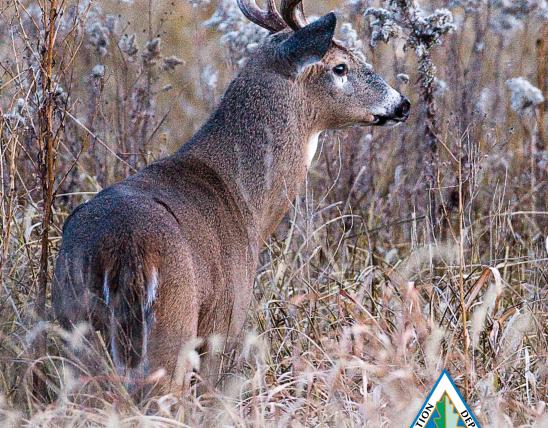


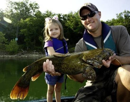
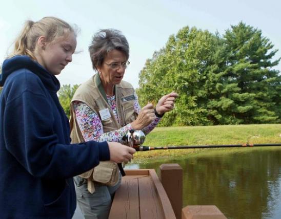
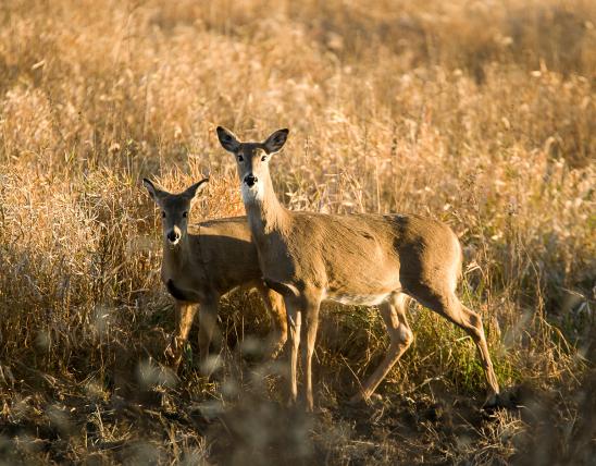


Hunters, anglers, and wildlife viewers now have access to new places through the Missouri Outdoor Recreational Access Program (MRAP). MRAP lands are privately owned properties that the landowner has allowed walk-in public access.
The detailed property maps have embedded coordinates to allow for easier navigation on MRAP properties. Use a GPS-enabled Android or Apple device to track your position on the property in relation to the boundaries and other features shown on the map. You will need a geospatial PDF reader app such as Avenza Maps.
MRAP Properties
| Name | Notice | County | Access Type | Habitat | Region |
|---|---|---|---|---|---|
| Marian's Place Fishing Map |
Saint Louis | Fishing Only | Access to 0.5 miles of Mississippi River |
Saint Louis | |
| Marion Bottom Overlook tract 74 acres Map |
Cole, Moniteau | Small Game and Turkey Hunting | Crop fields, grass buffers, forest |
Central | |
| Marmaton Bottoms Tract 144 acres Map |
Vernon | Youth Hunting and Fishing Only | Forest, crops, wetland |
Kansas City | |
| McBath Tract 165 acres Map |
Caldwell | Youth Hunting and Fishing Only | Mixed (grassland, forest, crop) |
Northwest | |
| Mile Long Farm Tract 214 acres Map |
Caldwell | All Access Hunting and Fishing | Cropland, grassland, wooded draws, ponds |
Northwest | |
| Military Trail tract 278 acres Map |
Bollinger | Small Game and Turkey Hunting | Woodland, forest |
Southeast | |
| Nebo Hill Tract 81 acres Map |
Clay | Youth Hunting and Fishing Only | Mostly forest, old field |
Kansas City | |
| Newark Drive 181 acres Map |
Linn | Small Game and Turkey Hunting | Forest, Grassland, Old Field, Pond, Food Plot |
Northwest | |
| Quad-E-Wildlife Ranch 960 acres Map |
Hickory | Archery Hunting | Forest, native grass, ponds, creek |
Southwest | |
| Ripley Tract 61 acres Map |
Ripley | All Access Hunting and Fishing | Forest |
Ozark | |
| Route A Tract 371 acres Map |
Grundy | All Access Hunting and Fishing | Native grass and forbs, forest, ponds |
Northwest | |
| Samuel Ziegler Prairie Tract 195 acres Map |
Sullivan | All Access Hunting and Fishing | Native grass |
Northeast | |
| Schieber Farm Tract 215 acres Map |
Daviess | All Access Hunting and Fishing | Cropland, grass buffers, wooded draws |
Northwest | |
| SF Tract 2271 acres Map |
Gentry | All Access Hunting and Fishing | CRP, Crop, Forest |
Northwest | |
| Sheridan 45 Tract 45 acres Map |
Nodaway | All Access Hunting and Fishing | Native grass and forbs, wooded draws |
Northwest | |
| Slater Branch 80 acres Map |
Chariton | Small Game and Turkey Hunting | Riparian Woods, Forest, Grassland |
Northwest | |
| Smoky Creek tract 280 acres Map |
Linn | Small Game and Turkey Hunting | Native grass, wooded draws |
Northwest | |
| South Fork Tract 325 acres Map |
Howell | All Access Hunting and Fishing | Forest and woodland, pasture, native grass |
Ozark | |
| Stilwell Prairie Tract 376 acres Map |
Vernon | Youth Hunting and Fishing Only | Native grass and forbs, forest, ponds |
Kansas City | |
| Swaith's Place Tract 159 acres Map |
Caldwell | Youth Hunting and Fishing Only | Mostly forest, native grass, pond |
Northwest | |
| Sweet Springs Tract 163 acres Map |
Saline | All Access Hunting and Fishing | Forest, grassland, ponds |
Central | |
| Twin Chimney Middle Ranch 720 acres Map |
Howell | All Access Hunting and Fishing | Native grass, pasture, wooded draws |
Ozark | |
| Twin Chimney Ranch Tract 1005 acres Map |
Howell | All Access Hunting and Fishing | Forest, woodland, pasture |
Ozark | |
| Uncle Doolittle Farm 163 acres Map |
Reynolds | All Access Hunting and Fishing | Mostly forest, hayfield, old field |
Southeast | |
| Vance Road Tract 174 acres Map |
Saint Francois | All Access Hunting and Fishing | Woodland and forest |
Southeast |