

Points of Interest:
- Explore a nationally important river.
- Try Ozark fishing and birding at its best during the spring.
- See the geologic wonder that is Jam Up Cave.
- See an amazingly diverse landscape with hundreds of plants and animal species.
Natural History:
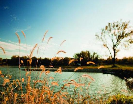
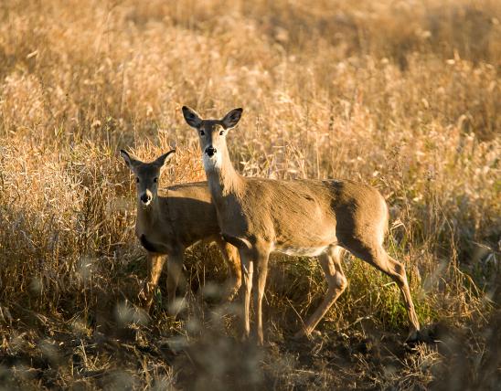
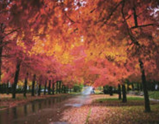
An outstanding Ozark natural area for the adventurous naturalist. A three mile stretch of the Jacks Fork River with associated gravel wash, dolomite cliff, dolomite glade, mesic upland and bottomland forest, dry-mesic forest, dry woodland, and cave natural communities that support a dozen plant and animal species of conservation concern. The Jacks Fork River here is a small spring-fed Ozark river with a broad spectrum of aquatic habitats that support four crayfish species, three of them Ozark endemics (Hubb’s, Ozark, and spothanded), and 40 native fish species, including six Ozark endemics (Ozark madtom, checkered madtom, Ozark shiner, Current River saddled darter, Ozark chub, and Ozark sculpin).
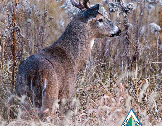
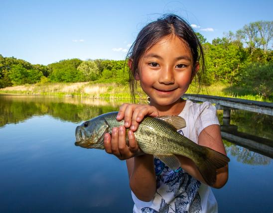
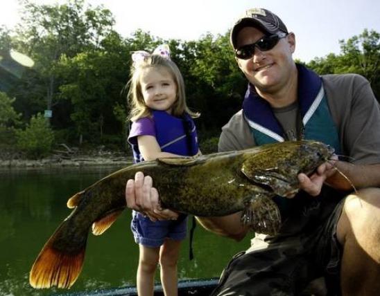
This is one of the premiere spring time Ozark float streams that is a great place to fish for smallmouth bass, sunfishes, and goggle-eye (shadow bass). You can also do some excellent bird watching while floating - in the spring migrating warblers can be spotted along with resident birds. Look for red-shouldered hawks soaring above the valley, kingfishers flying over the water, Louisiana waterthrush bobbing along the rocky shores, eastern phoebes along the cliffs, and high in the sycamores and other trees along the banks you might catch a glimpse of a northern parula, yellow-throated warbler, or even the rare cerulean warbler.
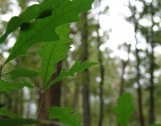
Steep valley walls and cliffs loom up to 200 feet above the Jacks Fork here with ancient eastern red cedars growing from cliff ledges. Along the steep slopes and cliffs grow an assemblage of rare plants found nowhere else in the state. Plants such as harebell are considered “glacial relict” plant species. These plants are normally found in more northern states. They were more common in Missouri 12,000 years ago. Today these plants survive in the cool microclimate of these steep north facing cliffs. Over 450 native plant species occur on the natural area!
The geologic features of this natural area are striking. The most amazing being Jam Up Cave. The entrance of Jam Up Cave is visible from the river and forms an arch 80 feet high by 100 feet wide. Huge dolomite boulders form a talus slope below the entrance. Technically this geological feature is a natural tunnel, not a cave. Jam Up Creek flows into this natural tunnel through a narrow sinkhole.
Jacks Fork River is named after John Jacks, a Shawnee Indian, who settled near the headwaters of this river in the 1830s. The rugged hills along the upper Jacks Fork were not reached by the railroad trams but rather the hills were logged and the lumber hauled by wagon to mills at Birch Tree. Today the valley has recovered its primeval wonder and is a great place to explore.
The area is best reached by canoe. Bring a map and compass for exploration. Check with the National Park Service about river stages and river closures due to high water. You can put in either at the Buck Hollow River Access, the Bluff View River Access, or the Blue Spring River Access. All of these river accesses are owned and maintained by the National Park Service, Ozark National Scenic Riverways.
Buck Hollow River Access
From Mountain View travel 3.6 miles north on Highway 17 and right before crossing the Jacks Fork River, turn right (east) to the Buck Hollow River Access. From this access it is 4.5 river miles east (downstream) along the Jacks Fork to the natural area.
Bluff View River Access
From Summersville travel 7 miles south on Highway 17 then head left (east) on Highway O. Stay on Highway O for approximately a mile then head right (south) on County Road O-437. Follow the gravel road south to the Bluff View River Access. From this access it is 2 river miles east (downstream) along the Jacks Fork to the natural area.
Blue Spring River Access
From Mountain View travel 1 mile east of the intersection of Highway 60 and Highway 17 on Highway 60. Turn left (north) on Highway OO and travel approximately 2 miles. Then turn left (north) onto County Road OO-493. Take this road about 2 miles north to Blue Spring River Access. From this access it is 2 river miles east (downstream) along the Jacks Fork to the natural area.
Rymers River Access
From the west boundary of the natural area it is about 1.6 miles east to the Rymers River Access (travel 6 miles east from Mountain View on Highway 60, turn left (north) on Highway M and proceed for 6 miles north along Highway M and gravel County Road M-471 to this access) which is the first take-out point on the Jacks Fork River downstream of the natural area. Hunting and fishing are allowed.
MO
United States