


Body
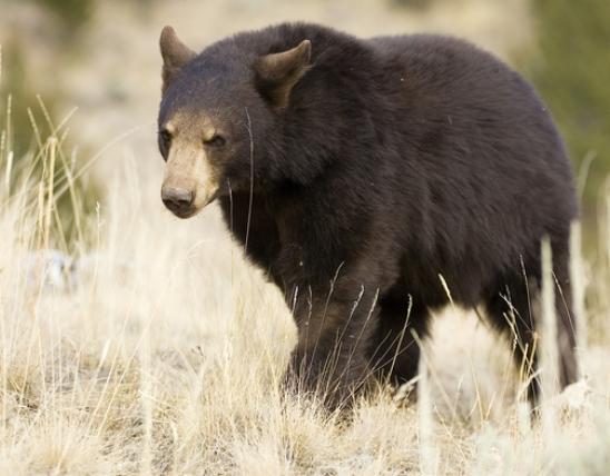
Hunters, anglers, and wildlife viewers now have access to new places through the Missouri Outdoor Recreational Access Program (MRAP). MRAP lands are privately owned properties that the landowner has allowed walk-in public access.
Title
Body
The detailed property maps have embedded coordinates to allow for easier navigation on MRAP properties. Use a GPS-enabled Android or Apple device to track your position on the property in relation to the boundaries and other features shown on the map. You will need a geospatial PDF reader app such as Avenza Maps.
MRAP Properties
| Name | Notice | County | Access Type | Habitat | Region |
|---|---|---|---|---|---|
| Vanzant Acres Tract 314 acres Map |
Douglas | All Access Hunting and Fishing | Forest, woodland, old field |
Ozark | |
| Westwood Tract 225 acres Map |
Franklin | Wildlife Viewing | Forest, cropland, lake |
Saint Louis | |
| William J. Steinhauser 159 acres Map |
Nodaway | All Access Hunting and Fishing | CRP, Pasture, Ponds |
Northwest | |
| Wright East 607 acres Map |
Macon | Small Game and Turkey Hunting | Mostly grassland, some forest |
Northeast | |
| Wright West 259 acres Map |
Macon | Small Game and Turkey Hunting | Pasture and forest |
Northeast |
Title
Related Content
Link or File
Link
Description
Learn how to enroll your property for public recreational activities such as hunting, fishing, and wildlife viewing.
Link
Description
Learn more about the MRAP eligibility requirements, enrollment process, and annual payments.