


Points of Interest:
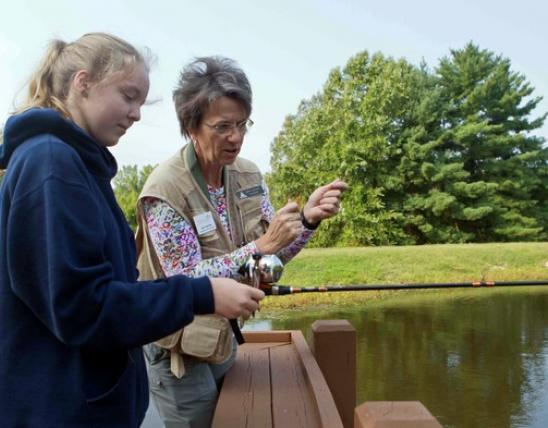
- Enjoy fishing on a bayou without leaving Missouri.
- View migrating waterfowl and resident waterbirds.
Natural Features Description:
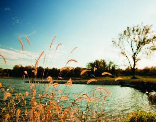
Wolf bayou is thought to have been part of the Mississippi River channel at some point in the past. Up until the late 19th century natural lakes such as this would have connected with the Mississippi River on a regular cycle whenever the river reached flood stage. Today with levees and drainage ditches Wolf bayou is only re-connected to its river during extreme flood events such as happened in 2011. The connection of these natural lakes with the river is important for fish populations.
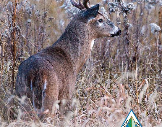
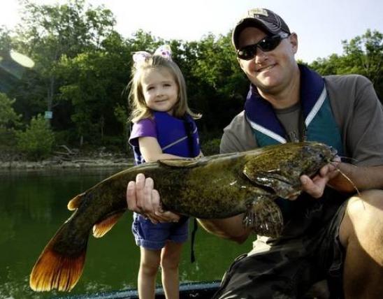
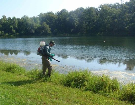
This backwater lake supports a population of the alligator snapping turtle. This fascinating turtle species is nearly completely aquatic and seldom comes out of the water to bask. Only females searching for egg-laying sites are typically seen on land. One alligator snapper caught in nearby Dunklin County in 1994 weighed 128 pounds. Although they are aquatic and spend most of their time below water, one study found that at a water temperature of 70 degrees Fahrenheit they have to come up for air every 50 minutes. Unlike any other North American turtles, they have the ability to lure fish into their mouth by way of their tongue which is shaped like a worm and acts as a lure. Alligator snappers feed mainly on fish, especially sunfish and gizzard shad. Other wildlife to look for here includes swamp rabbits, herons, Mississippi kites, migrating ducks, and swallows. Fishing for catfish, crappie, carp and buffalo can be successful.
This natural area is within the Wolf Bayou Unit of the Black Island Conservation Area. Take exit 27 off Interstate 55 (Wardell exit) and follow Highway BB south then east to where it ends at a levee. Here turn right (south) on to County Road 322 (gravel) for about 0.6 mile. Then turn left onto the road that crosses over the levee. Follow the signs to the parking area and boat ramp on the bank of Wolf bayou. Hunting and fishing are permitted. A boat is handy to explore the bayou.
MO
United States