


Points of Interest:
- Explore a biologically rich Ozark landscape of glade, woodland, forest, and creek.
- See ancient post oaks lining expansive glades with showy wildflower displays.
- Look and listen to a wide range of Ozark birds from ovenbirds to prairie warblers.
Natural History:
This area features a mix of high-quality dolomite glade and dry to dry-mesic woodlands on cherty and dolomite derived soils that are characteristic of the Meramec River Hills region. On November 9, 1818 H.R. Schoolcraft traveled just two miles north of the natural area and described his route as: “Our route this day has been over barrens and prairies, with occasional forest of oak, the soil poor, and covered with grass, and very little under-brush.” Visitors to the natural area will see areas similar to those described by Schoolcraft thanks to the efforts of years of work by Conservation Department staff using thinning and prescribed burning here to restore the glades and woodlands.
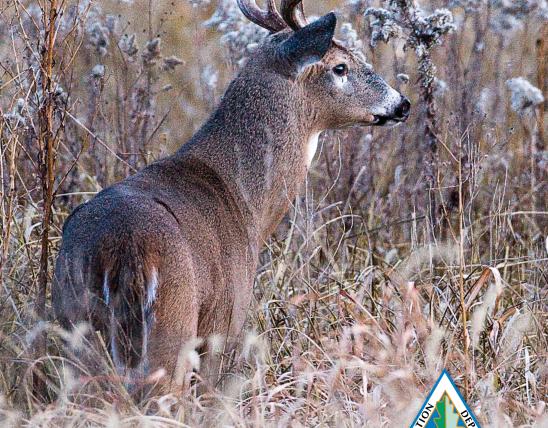
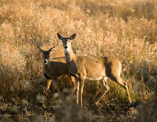
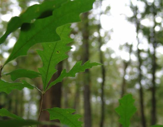
Large dolomite glades on south and west facing slopes are ringed by post and chinkapin oaks some of which are 200 years old. The glades support an array of wildflowers including yellow and red flowering forms of Indian paintbrush, Missouri evening primrose, and silky aster. Also using the glades are the striped bark scorpion, Texas brown tarantula, prairie warbler, yellow-breasted chat, and blue-winged warbler.
In the woodlands look for summer tanagers, blue-gray gnatcatchers, and black-and-white warblers foraging for insects in the oak canopy while below wild turkeys scratch for food in the duff. North facing slopes support cherty dry-mesic forests with white and northern red oak, flowering dogwood, and black cohosh. On these forest slopes look and listen for the ovenbird, the worm-eating warbler, and the red-eyed vireo.
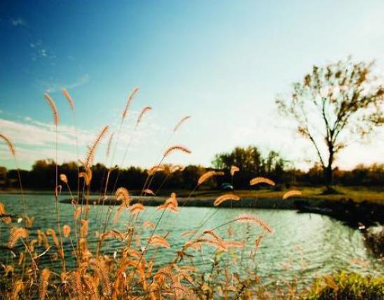
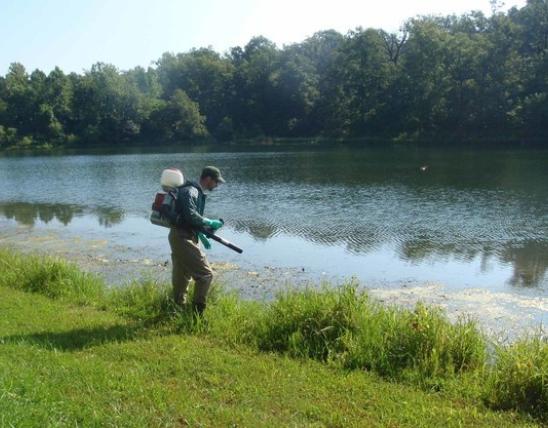
Adding to the diversity of these upland natural communities are the headwaters of Fishwater Creek and an associated spring and fen. In the creek look for the beautiful bleeding shiner, southern redbelly dace, and the rainbow darter. The spring and fen are both natural communities created by calcareous groundwater.
The name, Indian Trail, comes from the history of this area as one of the routes of the Trail of Tears in which over 12,000 Native Americans of the Cherokee Tribe were forced to move from their homeland in the southern Appalachians to what was then the territory of Oklahoma in 1838. Today the Cherokee Nation still has their tribal headquarters in Tahlequah, Oklahoma.
The Sligo Iron Company started in 1880 and produced iron until 1923 just four miles north of here. The smelters of the iron company needed huge quantities of cordwood for fuel and hence much of the surrounding woods were cut. By 1927 the state of Missouri bought the cut-over, grazed, and over-burned land that makes up Indian Trail Conservation Area today. The Civilian Conservation Corps had a work station here in the 1930s and built most of the area’s roads, fought wildfires, and reforested many areas.
From Salem travel northeast for about 12 miles on Highway 19. Turn right (east) onto Highway 117 and follow this paved road just 0.25 mile to the Indian Trail Conservation Area entrance. To reach the north unit (Fishwater Creek) from the main entrance you will travel east and south on the gravel Road 10-14 for 3.2 miles. Then turn right (west) on Road 10-19 and drive 0.8 mi. Park along the side of the road and walk west into the natural area. To reach the south unit (Plank Hollow) from the main entrance you will travel east and south on gravel Road 10-14 for 5 miles. Park along the side of the road near the gate on the south side of the road. Walk around wildlife food plot 28 and the ridge trail you are on is the north boundary of the natural area. Bring a map and compass for exploration. Hunting and fishing are permitted.
MO
United States