


Points of Interest:
- Explore the wilds of the largest remnant wetland complex left in the Osage Plains.
- See extensive bottomland forests and woodlands punctuated by shrub swamps and marsh/wet prairie openings.
Natural Features:
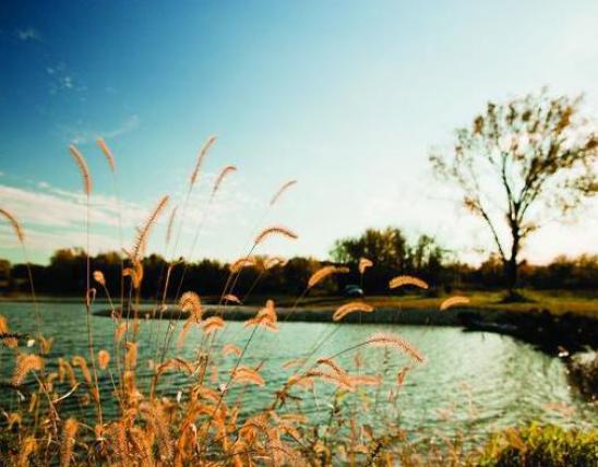
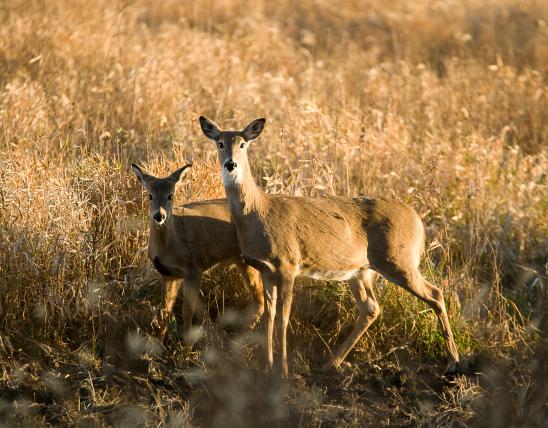
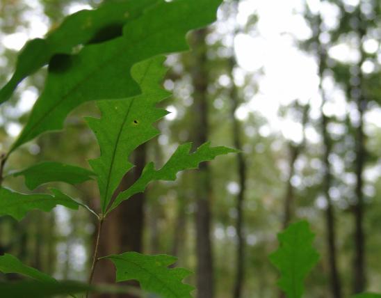
In the summertime this area takes on an almost tropical jungle aspect with tall trees laced in vines and a thick undergrowth of herbaceous wetland plants. All the while the sounds of birds and buzzing insects can be heard. A few hundred years ago this area was the center of a complex of bottomland prairie and savanna centered around the confluence here of the Little Osage and Marmaton Rivers. Just 6 miles to the east was the main village of the Osage Indians 238 years ago. Today these wetlands feature wet prairie openings dominated by cordgrass, sedges and smartweeds and marshes of river bulrush, rose mallow and marsh elder. Dense shrub swamps of black willow and buttonbush occur in sloughs. Surrounding the open wetlands are bottomland forests with pecan, hackberry, green ash, shellbark hickory and scattered pin and bur oaks. These wetlands provide habitat for a wide variety of amphibians and bird species, including wood duck, red-shouldered hawk, Mississippi kite, barred owl, sedge wren, American redstart, and prothonotary warbler.
This natural area is within Four Rivers Conservation Area. Access to the natural area is difficult. It is only accessible from either the Little Osage or Marmaton Rivers. If you have a jon boat with a motor you can put in at the boat ramp on the Marmaton River across from Pool 4 at Four Rivers Conservation Area. From there you could boat downstream about a half mile to the confluence of the Little Osage and Marmaton Rivers. This is the northeast corner of the natural area and with a boat you could access the natural area from either the banks of the Marmaton or Little Osage. If you have a canoe you could put in at the Cephas Ford Access on the Marmaton River and float downstream for 5 miles to the south east corner of the natural area. From here you would need to canoe downstream another 2.5 miles to the boat ramp on Four Rivers Conservation Area for a take out. Hunting and fishing are permitted.

MO
United States