


Points of Interest:
- Hike through scenic ridges and valleys that drain to Big Sugar Creek.
- Enjoy the panoply of summer and fall wildflowers growing amongst the oaks.
- Look for the rare Ozark chinquapin in the woods.
Natural Features Description:
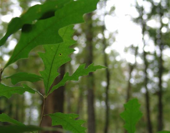
This natural area conserves the best and largest example of dry and dry-mesic chert woodlands in the Elk River Hills ecoregion. There are many majestic open grown post and blackjack oaks on south and west slopes and white and black oaks on north and east slopes. Thickets of low bush blueberry, deerberry and farkleberry allude to the very acidic, cherty soils on the slopes. Scattered shortleaf pine occur and this area historically supported a more extensive pinery, giving rise to the name of the nearby town, Pineville.
Here and there on upper slopes and ridges are sprouts of the Ozark chinquapin. In the same genus as American chestnut, the Ozark chinquapin also suffers from the exotic fungal disease, chestnut blight. Hence this species is subject to repeated killing of stems by the blight. Prior to the blight’s spread into Missouri in the 1960s, Ozark chinquapins typically reached up to 60 feet tall at maturity. Occasionally some stems do flower. The long term outlook for this species’ survival is unclear. Once common in the woodlands of far southwest Missouri as a small tree, the Ozark chinquapin is now rare. It occurs in just six states with the center of its range in Arkansas. Another rare species with a narrow range (known from the Ozarks and Ouachitas of Missouri, Arkansas and Oklahoma) found here is Ozark corn salad. The white flowers of this plant bloom in late spring on limestone glades and outcrops.
This natural area is within Big Sugar Creek State Park. From Pineville, head east on Big Sugar Creek road (County Road SE W-24). From Pineville it’s about 5 miles east on the county road to the park entrance. From the park entrance continue on east for another mile to the parking lot and trailhead. Hiking trails head north into the natural area. A map and compass are recommended to explore this area.

MO
United States