
Points of Interest:
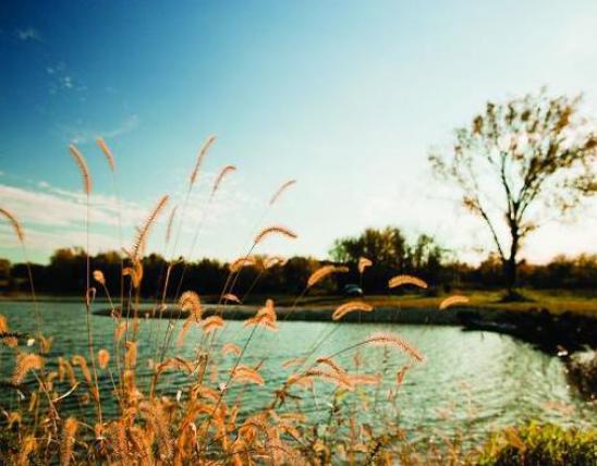
- See the mighty Mississippi River flow north for over three miles.
- Wander among extensive riverfront forests – some of the largest remaining tracts of this community type in the Mississippi Lowlands.
- Keep your eyes and ears alert for a wide variety of migratory and resident songbirds, raptors and wading birds.
Natural Features Description:
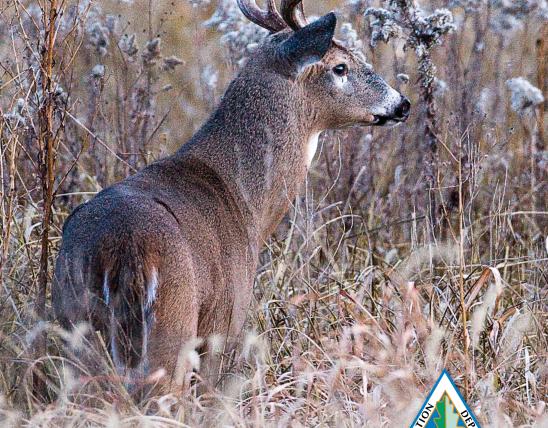
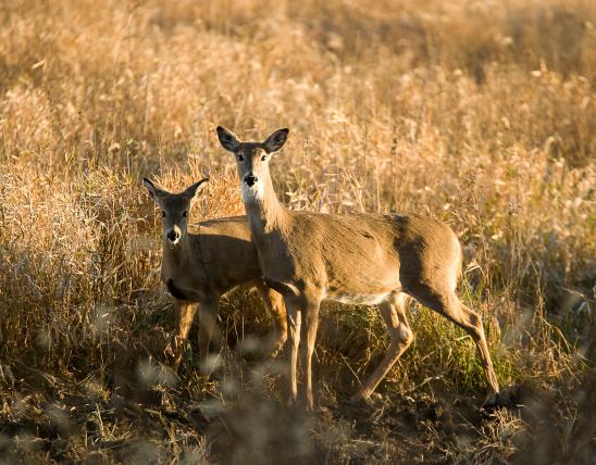
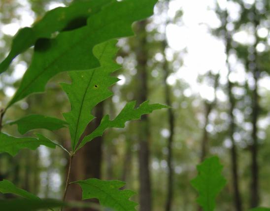
Donaldson Point is an enormous bend in the Mississippi River and although the terrain is pretty flat, low ridges, swales, oxbows and sloughs dot this large block of forest creating soil conditions that support a diverse mix of overstory trees – from pecan to cypress. Mature emergent cottonwood, sycamore, sweetgum and pecan trees are prime nesting locations for Mississippi kites which are known to nest here. In the winter and spring the area is often either flooded or water is ponded within low spots. However the soils here are primarily loamy and tend to drain more quickly than heavier-textured soils of bottomland forests farther away from the Mississippi. One can almost imagine Huckleberry Finn and his raft floating down the river in the antebellum period when you stand on the shores of the great river that forms the western boundary of the natural area. This forest provides habitat for a number of species of conservation concern more common to the southeastern U.S. such as the swamp rabbit, southeastern bat and Rafinesque’s big-eared bat.
This natural area is within Donaldson Point Conservation Area. From New Madrid travel east on Highway WW to the intersection of Highway WW and Highway P. From here turn right (south) staying on Highway WW and proceed about a half-mile. Turn right (west) on to county road 404 (gravel) and stay on this for three miles at which point the road gets on top of a levee. Follow the levee road (still CR 404) for a mile and a third and then head right, on to the area road that goes down off the levee. Soon you will see the parking lot at Dawson Hole. The natural area stretches out to the north and south of here. Area roads one and three provide seasonal road access to the area and several area access trails bisect the area for foot access. A map and compass are recommended to explore this area. Hunting and fishing are permitted.
United States