


Points of Interest:
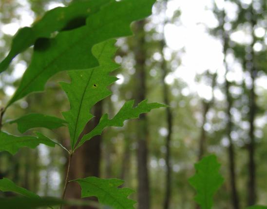
- Stand amongst some of the oldest known white oaks in Missouri.
- Enjoy a hike along the Brushy Creek Trail through a remote part of the Current River Hills region.
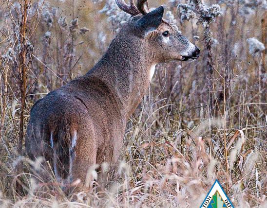
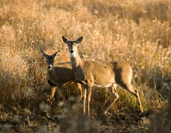
- Look and listen for forest interior songbirds such as the ovenbird, worm-eating warbler, and wood thrush.
Natural Features Description:
This site features old-growth white oaks (some nearly 400 years old) scattered about an exemplary dry-mesic chert and limestone/dolomite forest natural community. This is one of a few places in the Ozarks where you can get a feel of the grandeur of the timber that fed the legendary logging boom at the turn of the 19th century. This area is more than just big trees however. The forests and woodlands along Satterfield Hollow are home to 381 native plant species (including two species of conservation concern), with only one exotic species, multiflora rose. A place with such a low level of exotic species is sadly a rarity in today’s Missouri. This natural area is surrounded by the 60,000 acre Roger Pryor Backcountry Area that is owned and managed for sustainable timber production by Pioneer Forest. This large, remote wooded tract with few roads provides forest-interior conditions for many species of neotropical migrant songbirds such as the wood thrush. Large blocks of forest such as this with few roads and pasture fields have low levels of brood-parasites (i.e., cowbirds) and nest predators (e.g., feral cats, raccoons, opossums) allowing for successful nesting of birds such as the red-eyed vireo, ovenbird, worm-eating warbler, and Acadian flycatcher. The conservative forest management, as practiced by Pioneer Forest, provides a highly compatible adjacent land-use to the natural area.
This land was purchased by Leo Drey, founder of Pioneer Forest, in 1954. The Society of American Foresters had become interested in protecting this stand of white oak back in 1953. The society then had a natural area program that was started in 1947, decades before the Missouri Natural Areas Program. The Society of American Foresters officially designated Current River Natural Area in 1955. When the Missouri Department of Conservation began a system of natural areas in 1970 this site was one of the first to be included. It has remained so to today but on the 50th anniversary of the original 10 acre natural area the site was expanded by 255 acres to today’s 265 acre total.
This natural area is within Pioneer Forest but the Missouri Department of Natural Resources, Division of State Parks assists with the management of the recreational features of this primitive area. This is a remote area far from paved roads and towns. Plan accordingly. A four-wheel drive vehicle is recommended to get to the natural area. From Salem travel south on Highway 19. From the junction of Highway 19 and Highway EE in Shannon County, continue south on Highway 19 for about 3 miles. Just after crossing Sinking Creek, turn left (east) onto County Road 19-250 (also known as Camp Zoe Road). Head east on the gravel County Road 19-250 for about 6.5 miles to the historic town of Mauser Mill. Here at the “T” intersection head to the right (south) on the road that heads uphill out of the valley. Continue on this road (County Road 19-250) for about 4.5 miles. Then turn right (south) at the “Y” intersection on to County Road P-235. In a half mile or so you will see the old Himont fire tower site on the left (east) side of the road. Keep on heading south on County Road P-235 for just over 2.5 miles to the “Y” intersection. Head right (southwest) from here (staying on County Road P-235) for about 2.4 miles. Then turn right on to County Road 235-C (west). In about a tenth of a mile there is a pull off and a sign for Current River Natural Area. A map and compass are recommended to explore this area. Hunting and fishing are permitted.
United States