
Points of Interest:
- See Missouri’s only known pink granite shut-ins.
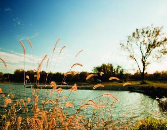
- Enjoy the scenery of pinkish granite rocks and rushing, cascading water of the Castor River.
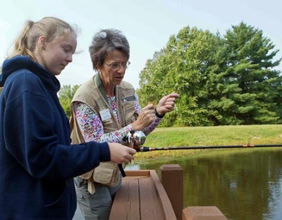
- Downstream of the shut-ins try your hand at wade and bank fishing.
Natural History:
The Castor River Shut-Ins is Missouri’s only known pink granite shut-ins. This picturesque pinkish granite is from the Breadtray formation, an igneous rock formation that is 1.5 billion years old. Most of the exposed igneous rocks of the St. Francois Mountains region are rhyolite rather than granite. Igneous rocks are formed from volcanic activity. Granite is a coarse-grained igneous rock formed from magma that cooled underground and was later exposed. By contrast, rhyolite is formed when magma is cooled above ground. Shut-ins occur where a broader stream is “shut in” to a narrow canyon-like valley. Shut-ins typically occur in Missouri where streams flow through softer sedimentary bedrock materials such as dolomite or sandstone and then encounter the more resistant igneous rock.
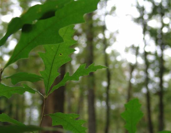
The rocky slopes and outcrops above the Castor River support igneous glade natural communities. These areas have widely scattered shortleaf pine, blackjack oak and farkleberry in between which are found large areas of mosses and lichens. Where some soil has developed in cracks and fissures in the rock you can find lance-leaf coreopsis, fame flower, prickly pear cactus, pine-weed, and little bluestem.
Castor River flows through the area with pools, riffles, the shut-in, and small waterfalls. Downstream of the shut-ins you might spot colorful small fishes such as the Ozark minnow, bleeding shiner, rainbow darter, and striped fantail darter. Anglers might get lucky and catch a smallmouth bass, shadow bass (goggle-eye), or longear sunfish. The stream itself can be a welcome relief on a hot summer day and makes for good wading. Downstream of the natural area is the site of the Hahn’s gristmill which operated in the 1870s.
From Fredericktown take Highway 72 east about three miles to Highway J. Turn left (east) onto Highway J and continue for 4.6 miles to the junction with Highway W. Turn right (south) onto Highway W and go 2.4 miles to the end of the pavement. Turn left (east) on CR 208 and drive 1.1 miles to the junction with CR 253. Turn left (north) on CR 253 and proceed 0.9 mile to the parking area and trailhead on the right (east) side of the gravel road. The 1 mile Cedar Glade Trail follows a loop and brings visitors to the shut-ins and glades. Hunting and fishing are permitted.

United States