Points of Interest:
- Take a float along the scenic Current River and marvel at the bluff top 500 feet above you.
- Hike along the top of the bluff looking down to the scenic river valley below.
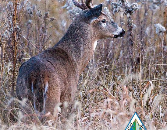
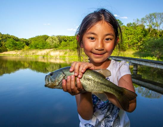
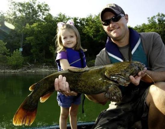
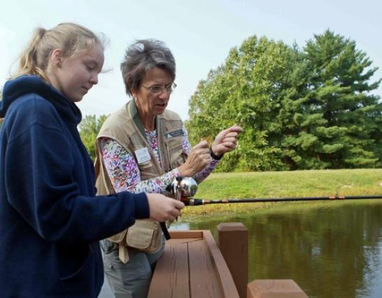
- Fish for smallmouth bass, goggle-eye, walleye, and suckers along the Current River.
Natural Features Description:
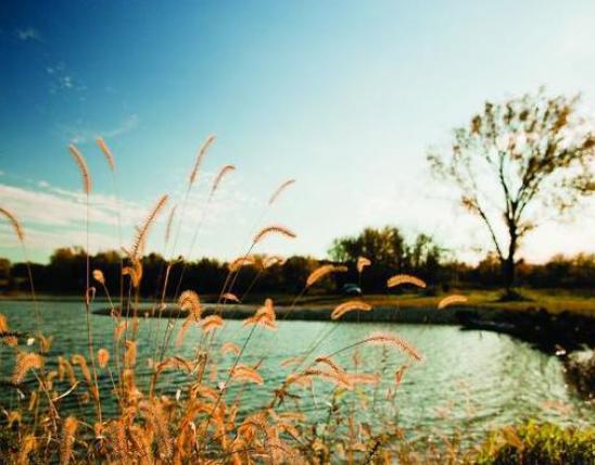
This natural area contains a scenic stretch of the Current River and is a part of the Ozark National Scenic Riverways. The Current River is of global conservation significance according to The Nature Conservancy and provides habitat for 35 global priority aquatic species of which an outstanding 25 have their best or only populations on Earth in this river. The Nature Conservancy considers the Current River and its watershed to be the crown jewel of Missouri’s native landscapes.
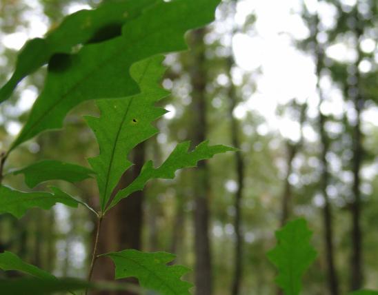
In addition to game fish the river here supports a variety of darters and shiners indicative of good water quality including the Current River saddled darter (endemic to the Current River watershed), rainbow darter, Ozark shiner, and bleeding shiner. Birders might catch a glimpse of the rare cerulean warbler in the tall sycamores, oaks and maples along the river and lower slopes. The forests of this area change considerably over a short horizontal distance. On the ridge black, white and scarlet oaks predominate with scattered shortleaf pines (the largest pines were harvested in the early 1900s). Clinging to the dolomite cliff faces are ancient eastern red cedars. At the base of the bluffs grows a rich mix of tree species including northern red oak, basswood, sugar maple, white ash, and sycamore. Along the river sycamore, silver maple, box elder and Ward’s willow grow along gravel bars.
This natural area is within the Current River Conservation Area. The natural area can be accessed either by boat from the Current River or by road. By boat: put in upstream at Powder Mill access and campground (managed by the National Park Service) and float downstream for almost eight miles. Cardareva Bluff is on the east side of the river. The Logyard access and campground (managed by the National Park Service) is 1.5 miles downstream of the natural area. To reach the natural area by land: from the intersection of Highways 106 and HH, follow HH south for about 4.5 miles. You will see Conservation Area Road 24 on your left (east). Park along this gravel road just east of Highway HH. Follow the old forest ridge road just to the west of the Highway HH – Conservation Area Road 24 intersection. A map and compass are recommended to explore the area. Hunting and fishing are permitted.
United States