


Points of Interest:
- Explore rugged Mississippi River hills terrain blanketed with mature and old second growth trees.
- Look and listen for a wide variety of forest songbirds including the Louisiana waterthrush, ovenbird, wood thrush, and worm-eating warbler.
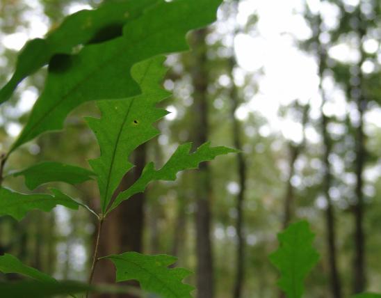
- See large forest trees from Ohio buckeye and bur oak in the creek bottoms to post oak on the ridges.
Natural Features Description:
This area is rich in woody species diversity with 30 kinds of native trees and shrubs. The steep protected slopes with abundant down and dead wood harbor populations of many plethodontid salamanders including the western slimy, long-tailed, southern red-backed and cave salamanders. Many trees here exceed 90 feet tall and are two feet in diameter (measured at 4.5 feet above ground). Large white and northern red oaks occupy the side slopes while sugar maple, red elm, Ohio buckeye and bitternut hickory dominate the creek bottoms and lower slopes. In the spring look for a variety of wildflowers and ferns. The fall typically brings good displays of leaf colors.
This natural area is within Magnolia Hollow Conservation Area. Take Exit 157 on Interstate 55. Travel northeast from the exit into the town of Bloomsdale. You will reach a “T” intersection with Highway 61 in a third mile. Turn right (southeast) onto Highway 61 and go for about one and a third mile. On your left (east) will be Highway V. Take Highway V and head northeast for 0.8 mile. At this point the paved road ends. Go left (north) on the county gravel road, White Sands Road. White Sands Road winds its way along the Establishment Creek bottoms for about three miles. At this point turn right (east) along the county gravel road and travel about a mile to the Magnolia Hollow Conservation Area boundary. From here continue heading east along the main access road to the final parking lot. The natural area is comprised of two units, the Big Oak Hollow Unit (51 acres) and the Buckeye Hollow Unit (170 acres). Both must be accessed on foot. Consult the area map. Both units of the natural area can be accessed by hiking along area access trails. A map and compass are recommended to explore the area. Hunting is permitted.

United States