


Driving directions: Seven and one-half miles west of Monett on Highway 60, then 1.75 miles south on Wallaby Road to its junction with Jolly Mill Road.
Annual Prospects Report
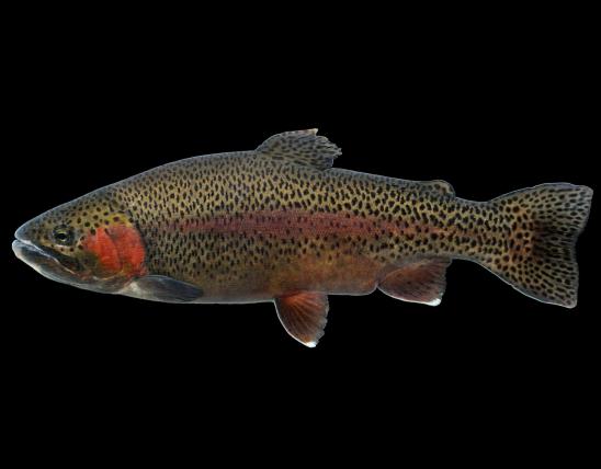
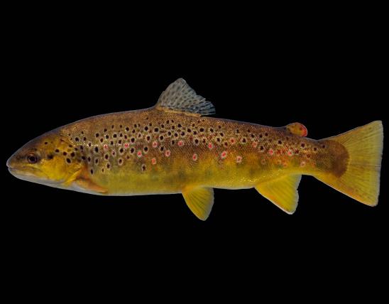
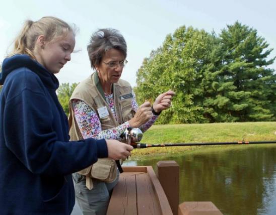
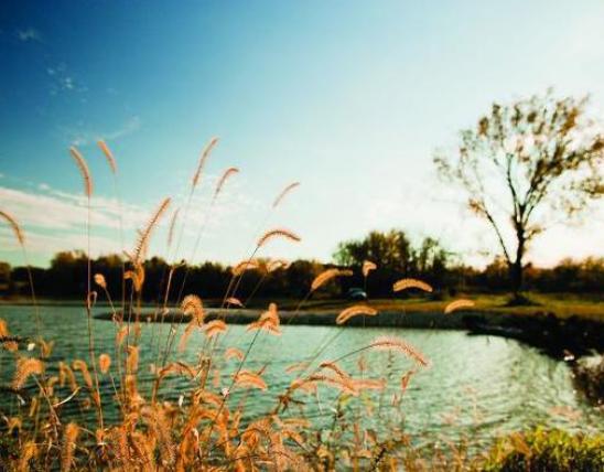
Capps Creek is a springfed tributary of Shoal Creek that flows through Capps Creek Conservation Area located in eastern Newton County. It is managed as a White Ribbon Trout Area. All brown trout less than 15 inches must be released immediately unharmed after capture. There is no length limit on rainbow trout. Brown trout are stocked annually and rainbow trout are stocked frequently throughout the year in the area of Capps Creek that flows from Jolly Mill Park to the confluence of Shoal Creek. The most recent survey of the area from the Wallaby Road bridge to Jolly Mill Dam to assess the status of the trout fishery found very few rainbow trout or brown trout. Rainbow trout 6.0 to 16.5 inches in length were measured indicating very little carryover between stockings. Brown trout from 12.3 to 21.6 inches in length were measured during the survey. A few larger browns were observed in some of the deeper sections of the stream. Stocked brown trout average nine inches in length so they are surviving and growing in the stream with fish as large as 24 inches noted in past surveys. Best bets would be rainbow trout in the spring and fall months and brown trout in the fall.
Driving directions: Seven and one-half miles west of Monett on Highway 60, then 1.75 miles south on Wallaby Road to its junction with Jolly Mill Road.